Fisher Civil
Built for Complex Projects
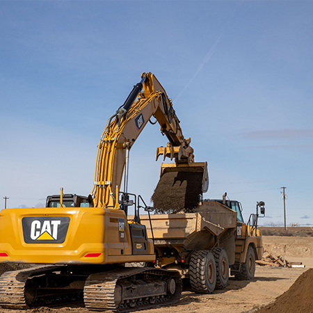
We specialize in civil design and construction for industrial and process-driven facilities where site performance is critical. From food processing and cold storage to advanced manufacturing, our team understands the importance of efficient layouts, heavy truck traffic, and utility-intensive operations.

Building Smarter From The Sky Down
Fisher has integrated the Propeller® drone survey platform into our construction process. We give our clientsunmatched visibility, accuracy, and control over their jobsites.
Using high-resolution drone surveys and Propeller’s® 3D mapping technology, we capture precise, up-to-date site data throughout every phase providing faster earthwork verification, accurate cut-and-fill volumes, and real-time progress tracking. All decisions are backed by measureable data, with clear communication and visual reporting, creating fewer surprises with quantity takeoffs you can trust.
Don’t take our word for it, see if for yourself!
What We Do
Site Planning & Development
We evaluate site conditions, constraints, and opportunities to develop layouts that optimize access, circulation, and future expansion. Our construction and design team develop effcient operations from day one that are durable, maintainable, and resilient, reducing lifecycle costs and supporting long-term operation successs.
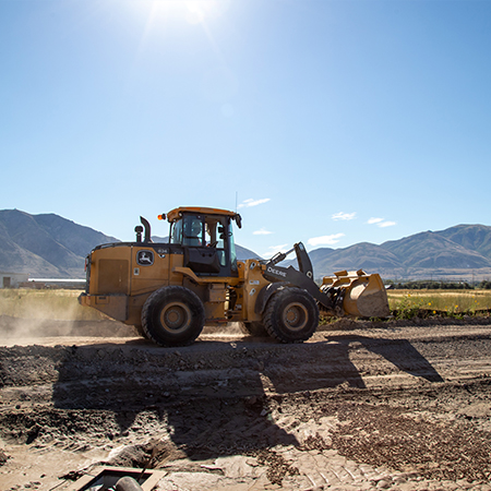
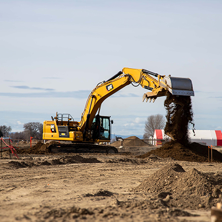
Grading & Drainage Design & Execution
We balanace cut and fill to reduce material export and import, lowering costs and minimizing environmental impact. Our team develops and constructs grading anad drainage solutions that manage stormwater effectively using Trimble guided GPS equipment to protect structures, and maintain site functionality under all conditions.
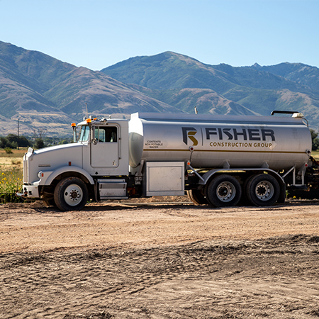
Utility Design & Coordination
We design, coordinate, and install water, sewer, storm, and utility infrastructure to ensure reliable service and efficient integration with building systems.
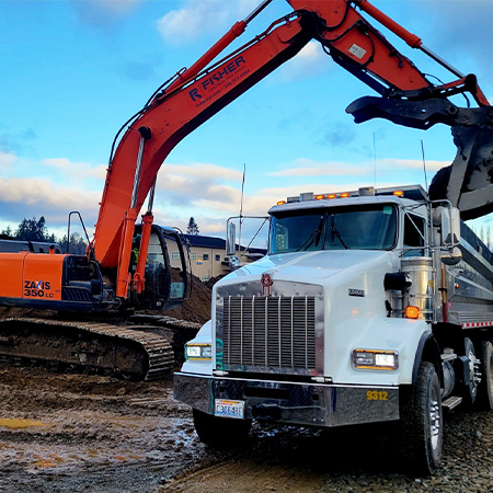
Transportation & Access
From truck circulation and loading areas to employee access and parking, we design and build sites that support safe and efficient movement throughout the facility. We design and install sites that are durable, sustainable, and strong enough to withstand the day-to-day operations over the years.
Technical Capabilities
-
- Site feasibility studies and due diligence
- Grading and drainage design and install
- Stormwater management systems
- Utility design and coordination
- Erosion and sediment control planning
- Roadways, access, and circulation design and construction
- Site layout and logistics planning
- Civil 3D and CAD-based design
- Permitting and agency coordination
- Trimble GPS survey and grading
- Propeller Aero® drone survey

Fisher’s Approach
Early Integration with Design-Build
Civil design is not isolated from thebuilding. By integrating early with architects, engineers, and builders, we align site and facility design to avoid conflicts.
Real-Time Cost Alignment
Our Civil project managers provide ongoing cost feedback to the client. This ensures site solutions remain practical and aligned with project budgets.
Constructability Focus
We design with construction in mind. Sequencing, access, and site logistics are considered throughout the design process, improving the efficiency for our field crews at installation.
Collaboration with Local Agencies
We coordinate closely with municipalities and regulatory agencies to streamline permitting and ensure compliance with all local requirements.

Fisher’s Design | Build Advantage
With civil services integrated into our design-build approach, clients benefit from:
- Faster project delivery through coordinated design
- Reduced conflicts between site and building systems
- Greater cost certainly and fewer changes
- Improved site functionality and operational flow
From Groundwork to Long-Term Success
Our Civil team stays engaged from early planning through construction, ensuring your site is built to perform as designed.
We don’t just prepare sites. We create foundations for efficient, sustainable facilities.